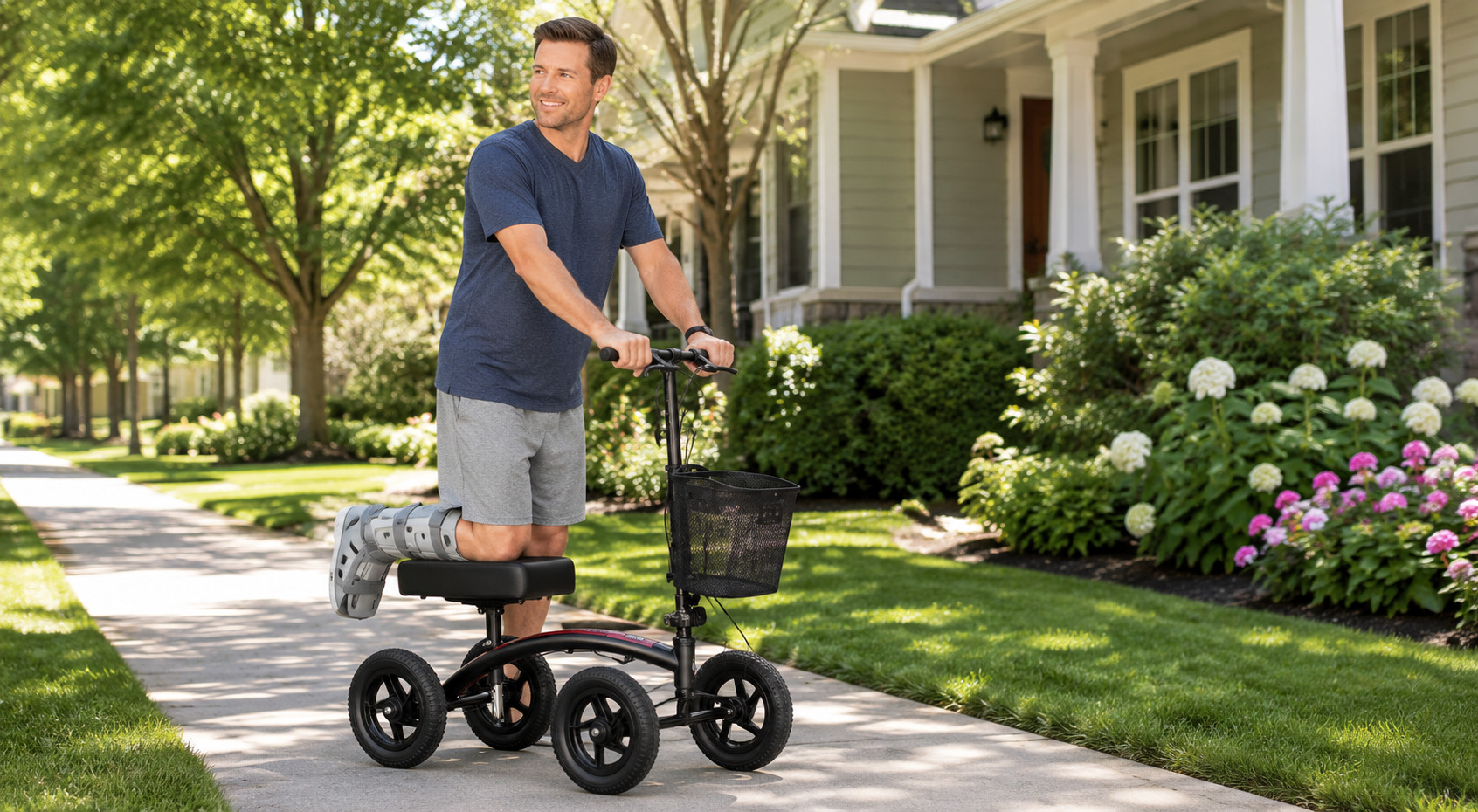
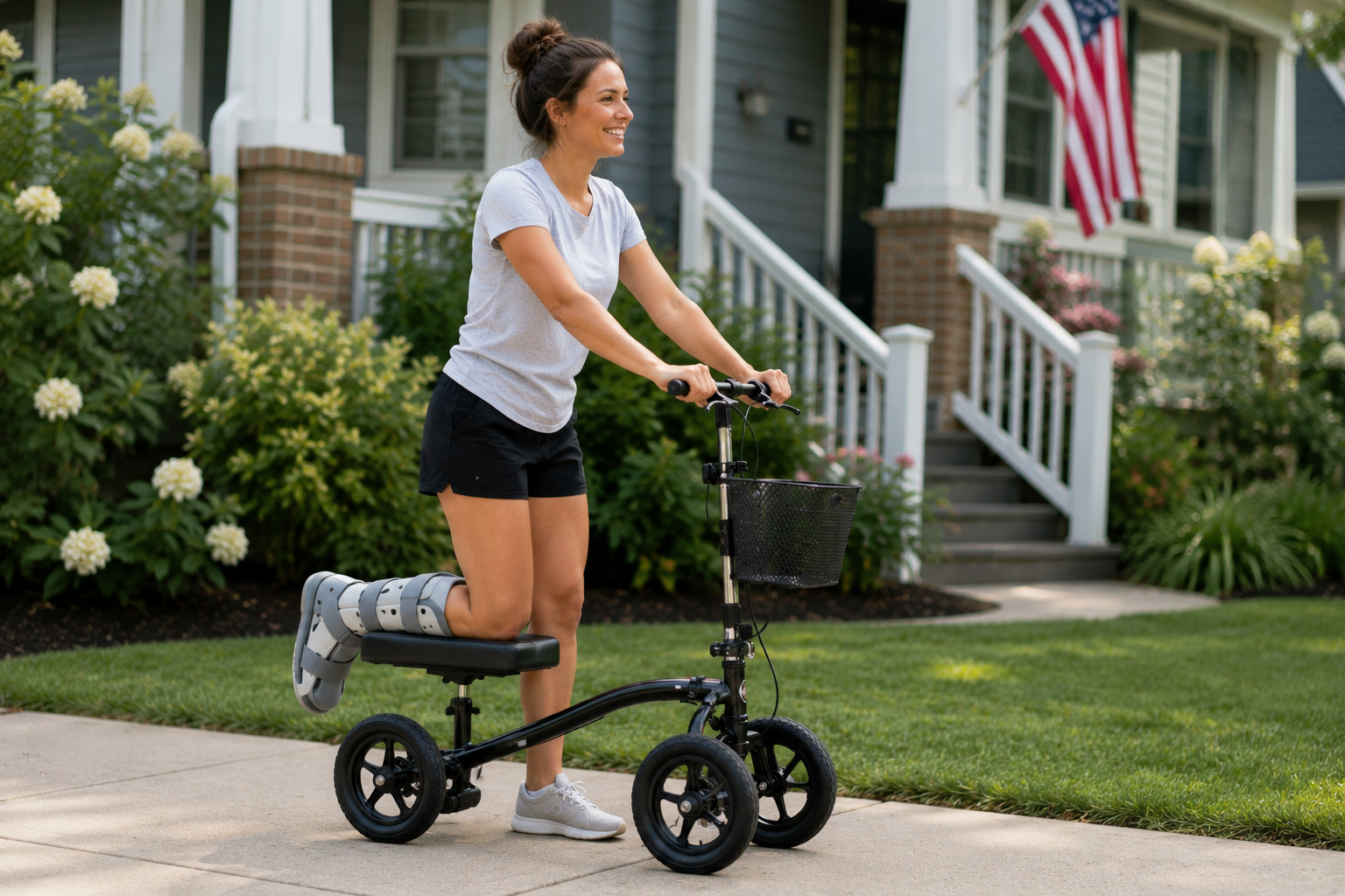
A foot or ankle injury can change how you explore Denver, but it doesn’t have to keep every outdoor plan off the calendar. Some of the best mobility-friendly trails in Denver map follow rivers, circle lakes, and wind through city parks without requiring a trip into the mountains.
From a quick change of scenery to a longer afternoon outside, Denver still gives you plenty of ways to enjoy the city.
Roll Through Denver: The Best Mobility-Friendly Trails (+ Map)
We built this list the hard way, checking real surface type, grade, road crossings, and parking instead of trusting a park map that slaps “accessible” on everything. Every route below is paved or close to it, mostly flat, and realistic to cover on a wheelchair, walker, or knee scooter.
Grab the map, then work through the profiles below to see which one actually fits your day, starting with the easiest.
[Interactive map embed: pins for all ten routes below, plus their nearest accessible parking.]
Ten paved-or-close-to-it routes across the Denver metro. Tap a trail on the map or in the list for surface notes, parking, and directions.
1. South Platte River Trail (Confluence Park)
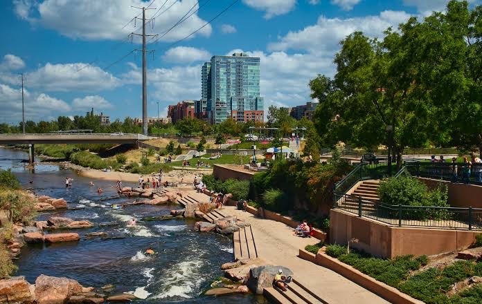
This is the trail we’d send a first-timer to. It runs sunken below street level through downtown, so you’re shielded from traffic and don’t hit nearly as many curb cuts as you’d expect in a city this size.
- Surface: Paved, flat, minimal elevation change
- Road crossings: Very few, thanks to the grade-separated path
- Parking: Street parking near Confluence Park, plus a lot at The Grove at Commons Park
Pro tip: Start at Confluence Park itself. It’s the busiest access point, but it also has the most benches and amenities nearby if you need a break partway through.
2. Cherry Creek Trail
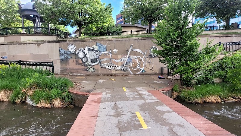
Cherry Creek Trail runs eight feet wide and is paved for most of its stretch inside Denver, and because it sits below street level, it’s noticeably quieter than a sidewalk route. The one thing to watch for is a handful of gravel sections near the southern end, so plan your turnaround point if you’re not on air-filled tires.
- Width: 8 feet, wide enough to pass others comfortably
- Surface: Paved through the urban core, gravel further south
- Setting: Sunken below Speer Boulevard, far fewer curb cuts than a street-level route
Pro tip: Stick to the downtown-to-Cherry Creek Shopping District stretch if you want pavement the entire way.
3. Washington Park Inner Loop
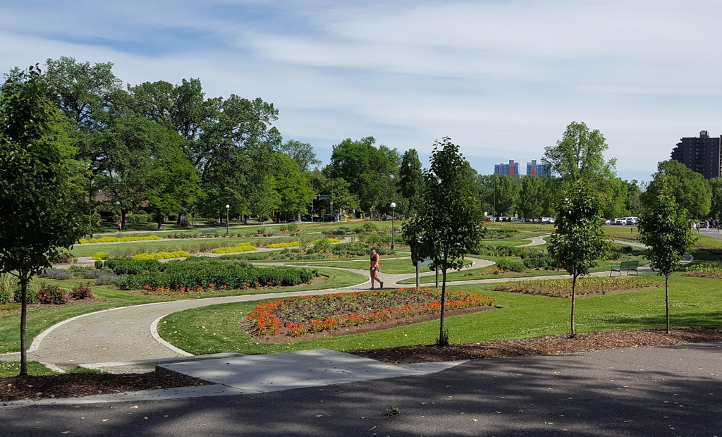
Washington Park’s inner loop is about as forgiving as Denver gets: a paved, roughly two-mile loop that’s completely car-free. It’s split into two lanes, one faster and one slower, so you’re not fighting cyclists for space the whole way around.
- Length: About 2 miles, easy to shorten if you need to
- Surface: Fully paved, flat grade start to finish
- Traffic: No cars, with a dedicated slower lane for walkers and mobility devices
Pro tip: This is the loop to pick for a short outing. You’re never far from a bench or an exit point if you need to cut it short.
4. City Park (Ferril Lake Loop)
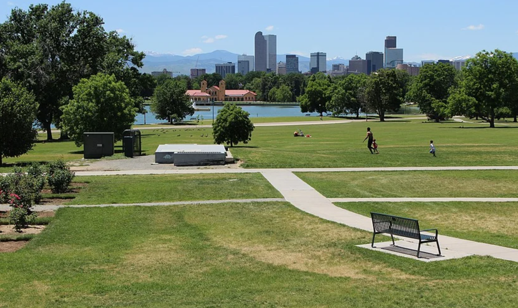
The path around Ferril Lake in City Park is paved, level, and short enough for a relaxed lap. It also sits close to the Denver Zoo and the Museum of Nature & Science, so a quick walk can turn into a full afternoon without much extra driving.
- Surface: Paved perimeter path, level grade
- Nearby: Denver Zoo, Museum of Nature & Science
- Good for: Pairing a trail outing with an indoor stop
Pro tip: Park once and do both. The lot serves the loop and the museum, so you won’t have to move your car mid-visit.
5. Sloan’s Lake Loop
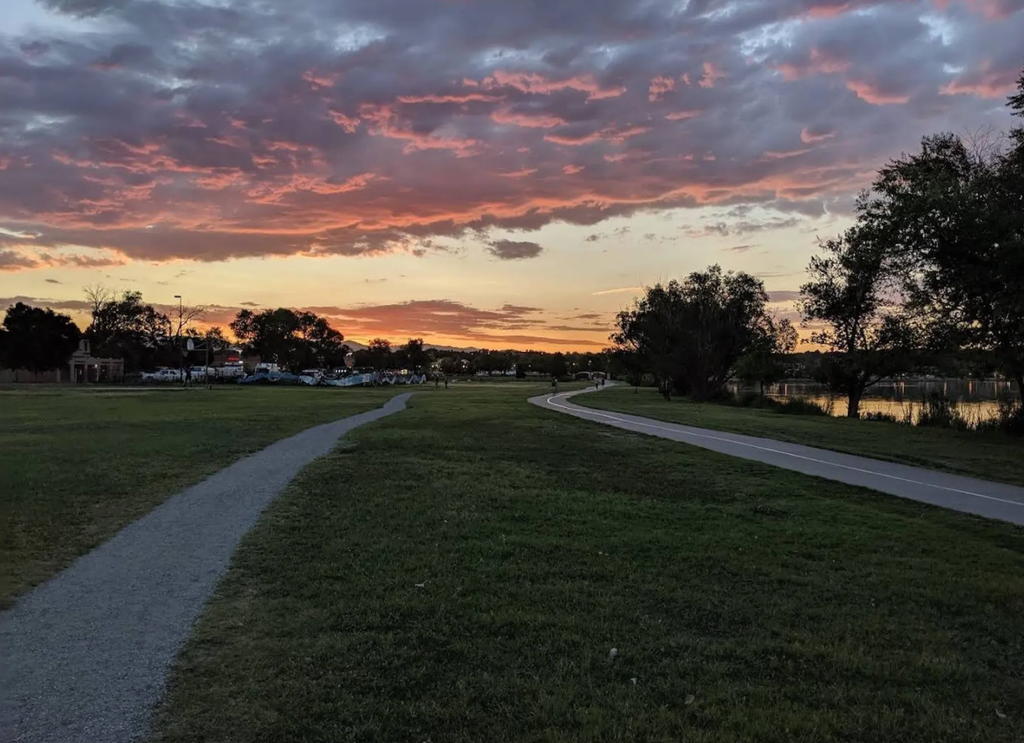
Sloan’s Lake gives you a paved, wide lakeside path with some of the best mountain views in the city, and you don’t have to drive out of Denver to get them. The flat grade makes it an easy one to knock out without much planning.
- Surface: Paved, wide enough for two mobility devices side by side
- Grade: Flat around the entire loop
- View: Mountain views without leaving the city
Pro tip: Go around sunset if your schedule allows it. The light on the water and the mountains behind it make the trip worth the timing.
6. 16th Street (Formerly the 16th Street Mall)
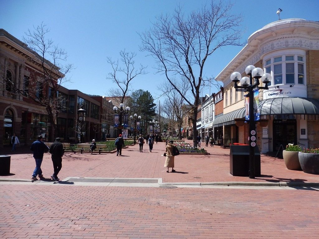
Downtown’s signature pedestrian corridor reopened in October 2025 after a multi-year renovation and dropped “Mall” from its name, though most people still search for it as the 16th Street Mall. It’s a paved, roughly mile-long promenade, and if shops, restaurants, and people-watching sound better than nature today, this is your route.
- Surface: Fully paved and smooth the entire length
- Length: About 1 mile, easy to break into shorter stretches
- Shuttle: The free FreeRide shuttle runs the corridor and is wheelchair accessible, useful if you want to cover the distance without rolling the whole way yourself
Pro tip: Save this one for a low-energy day. You can duck into a café, sit down almost anywhere along the route, or hop the free shuttle partway through.
7. Chatfield State Park
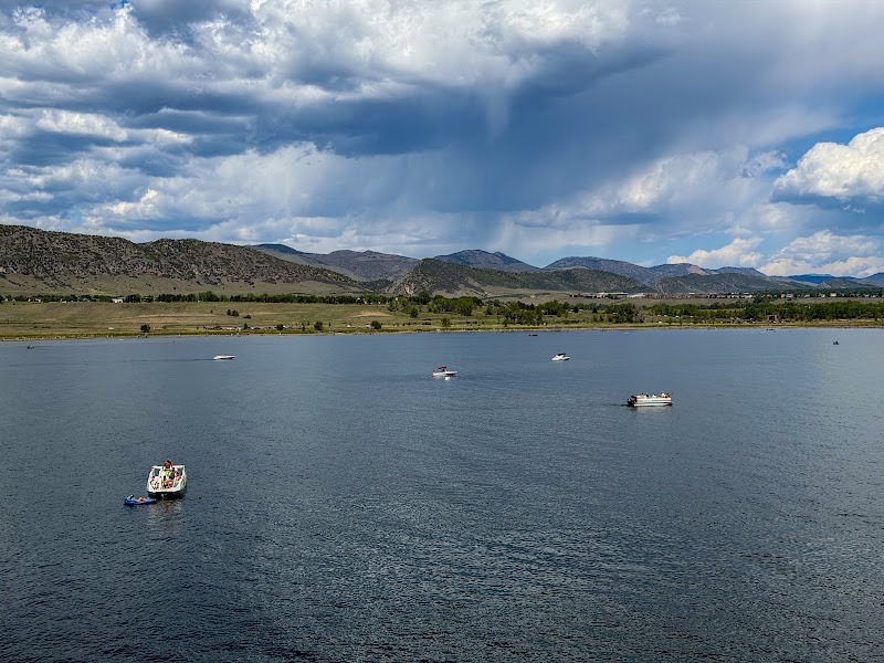
Chatfield sits about 40 minutes from downtown, and it’s worth the drive if you want a longer, quieter outing. The park maintains close to 12 miles of paved, ADA-compliant trail, more than enough to fill a full afternoon.
- Distance: Roughly 12 miles of paved trail
- Rating: Officially ADA-compliant
- Setting: Quieter than the urban trails, with reservoir views
Pro tip: Bring water and sun protection. There’s a lot less shade out here than on the city trails closer to downtown.
8. Cherry Creek State Park’s Paved Multi-Use Trail
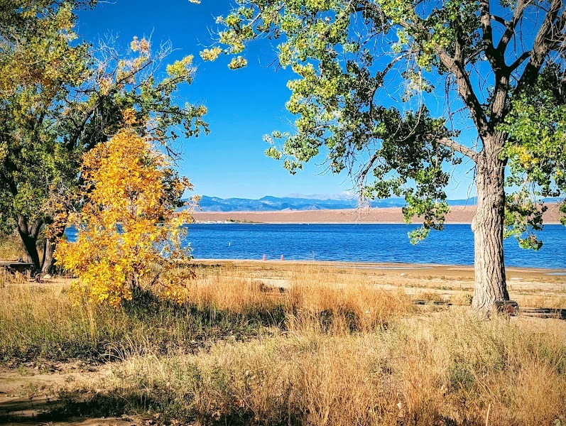
Don’t confuse this with the urban Cherry Creek Trail above. This is a separate, officially ADA-accessible route inside Cherry Creek State Park itself, running 4.75 miles of paved surface and reachable from the Cherry Creek Crossing or Cottonwood Creek trailhead.
- Length: 4.75 miles, fully paved
- Rating: Officially ADA accessible
- Cost: Daily vehicle fee applies, though pedestrians and cyclists enter free
Pro tip: If you’re driving in with a friend, the fee is per vehicle, not per person, so it’s worth splitting.
9. High Line Canal Trail (Denver/Aurora Stretch)
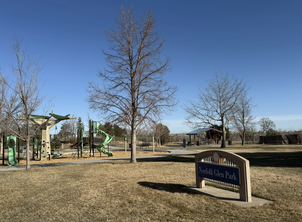
The High Line Canal is paved for its full run through Denver and Aurora, which makes it a solid option if you’re already near a city access point. Once it crosses into South Suburban, Highlands Ranch, or Chatfield territory, though, the surface switches to natural ground, so it’s smart to stick to the in-city segment.
- Surface: Paved inside Denver and Aurora city limits only
- Outside the city: Reverts to a natural, unpaved surface
- Access: Multiple trailheads through both cities
Pro tip: Check which cross street you’re near before you commit. A wrong turn south can put you on dirt faster than you’d expect.
10. Sand Creek Regional Greenway (Commerce City and Denver Segments)
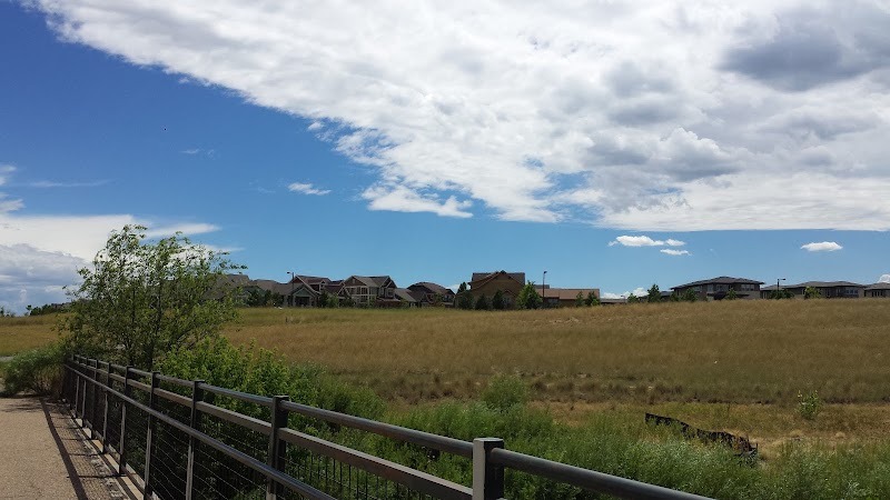
Sand Creek Regional Greenway is paved through both Commerce City and Denver, according to the trail’s own managing nonprofit, and only shifts to a soft, crusher-fine surface once it crosses into Aurora. That’s worth calling out clearly, since a couple of secondary sources get this backwards and claim the whole Denver stretch is unpaved.
- Paved section: Commerce City and Denver
- Aurora section: Soft, crusher-fine surface, harder on small wheels
- Rating: Officially wheelchair accessible where it’s paved
Pro tip: Stick to the Denver and Commerce City trailheads (like Smith Road or Dahlia) if you want pavement the whole way, and save the Aurora end for a different day.
Ten routes, all paved or close to it, flat, mapped, and ready whenever you are, so pick one and get rolling.
Make Your Next Denver Outing Mobility Friendly
Getting outside during a foot or ankle recovery starts with choosing a route that matches what you can comfortably handle. Use the map to narrow down these 10 Denver options, then consider the surface, distance, crossings, and nearby parking before heading out. A shorter city loop may be enough today; a longer park trail can wait for another day.
If a knee scooter is part of your recovery, rent a Standard or All-Terrain model from us at Knee Scooter USA and keep exploring Denver at your own pace.