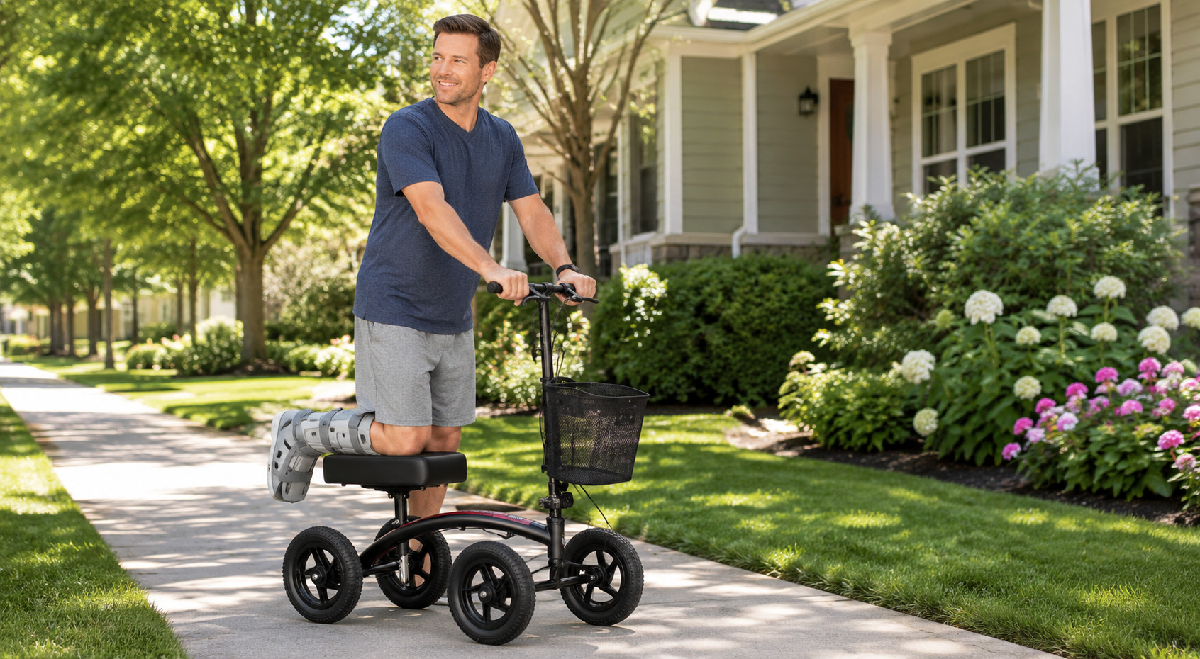
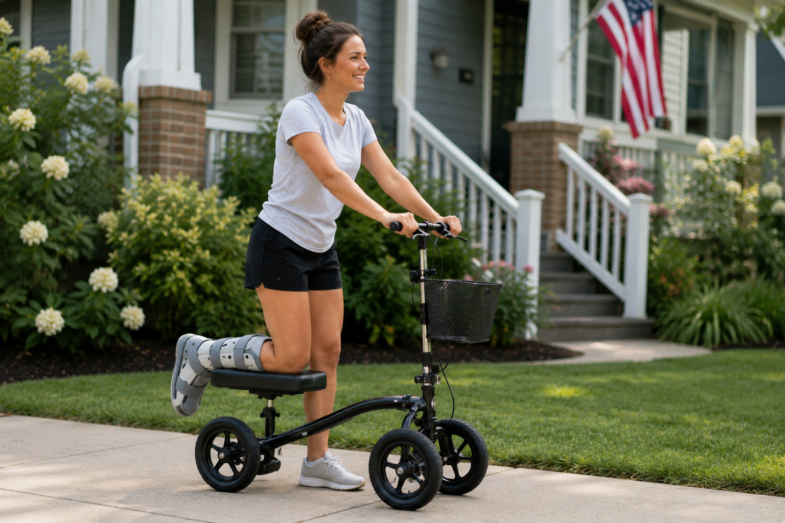
Getting outside with a foot or ankle injury doesn’t have to mean tackling a hiking trail. Wheat Ridge offers places where you can enjoy the creek, watch wildlife, or simply spend an hour outdoors without heading deep into Colorado’s rugged terrain.
We found the best mobility-friendly trails in Wheat Ridge map for getting outdoors while keeping steep climbs, rocky paths, and tougher terrain off the itinerary.
Roll Through Wheat Ridge: The Best Mobility-Friendly Trails (+ Map)
Wheat Ridge keeps this simple. Most of what’s worth rolling on lives along one corridor, the Clear Creek Trail and Greenbelt, with one separate park thrown in for good measure. Instead of skimming a park brochure for the word “accessible,” we pulled surface type, grade, and parking straight from official city and trail sources for every stop on this list.
Nine spots made the cut. Scroll through the map, then start wherever’s closest to you.
[Interactive map embed: pins for every trail and access point below, plus the nearest parking.]
Nine stops, mostly one corridor plus one worthwhile detour. Tap a stop on the map or in the list for surface notes, parking, and directions.
1. Clear Creek Trail / Wheat Ridge Greenbelt
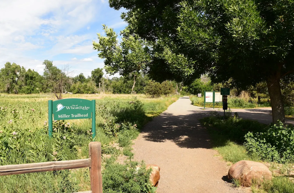
This is the trail that puts Wheat Ridge on the map for mobility access. It runs roughly 7 miles through the heart of the city, from Youngfield Street to Harlan Street, and the City of Wheat Ridge tags it as ADA-accessible directly on its own facilities page. The trail also earned an official National Recreation Trail designation back in 2007.
- Surface: Paved, concrete in the newer sections and up to 10 feet wide, asphalt in older stretches
- Distance: About 7 miles end to end
- Rating: Officially ADA Accessible on the city’s facilities database
Pro tip: Treat the Greenbelt as several shorter access points instead of one long haul. It’s easier to gauge your energy that way.
2. Clear Creek and Prospect Lake Trail
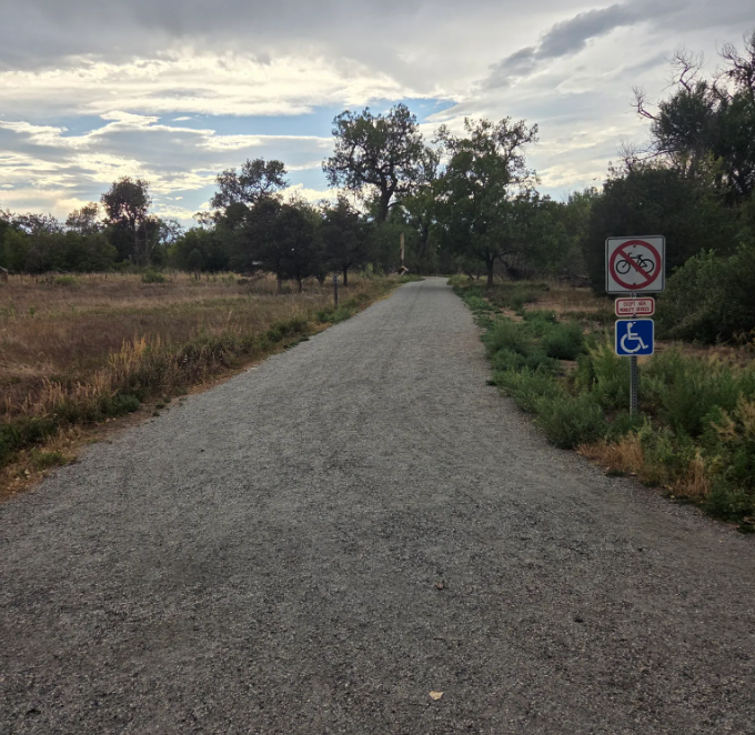
This loop follows Clear Creek past Prospect, Tabor, and West Lakes, and the north side is paved. The south side turns to an unpaved, foot-traffic-only path for most of its length. Those lakes started out as gravel mining pits before the city reclaimed them as wildlife habitat, so don’t be surprised if a muskrat or a beaver crosses your path.
- Surface: Paved on the north side, unpaved on the south
- Distance: About 7.5 miles for the full loop
- Grade: Roughly 203 feet of elevation gain across the loop
Pro tip: Stick to the north-side path as an out-and-back. It’s the stretch actually built for wheels.
3. Miller Street to Youngfield Conservation Stretch
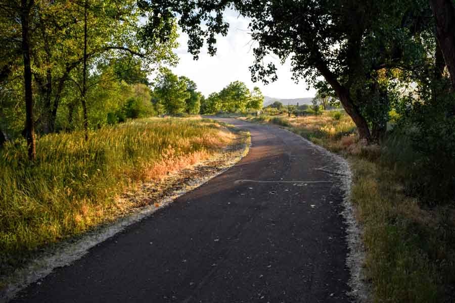
This 1.5-mile stretch on the south side of Clear Creek is quieter than the main corridor, and it’s closed to regular bikes on purpose. Mobility devices are the exception. The conservation area also protects the Ute Ladies’ Tresses Orchid, a federally listed threatened plant species.
- Surface: Crusher fine, rougher than pavement but rideable
- Access: Closed to bikes, open to ADA mobility devices
- Best for: A slower outing away from cyclists
Pro tip: The All-Terrain model’s air-filled tires handle this stretch a lot better than the Standard model’s solid tires.
4. Youngfield Trailhead
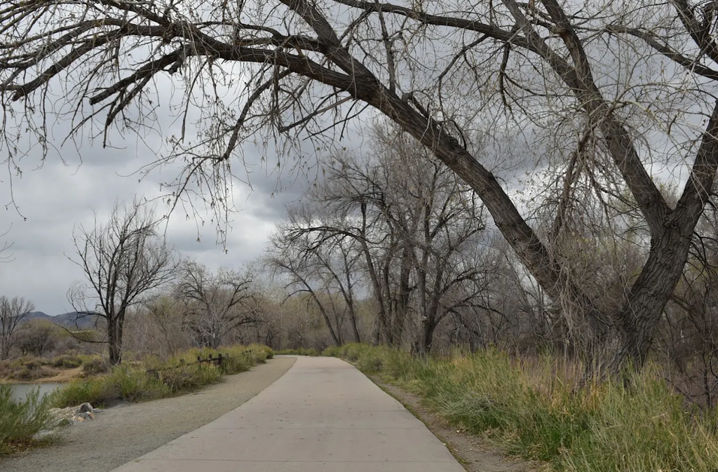
The main western entrance to the Greenbelt, with a lot right at the trailhead. It’s the pick if you want the longest stretch of trail ahead of you, and it also doubles as the access point locals use for recreational gold panning along Clear Creek.
- Location: West end of the Greenbelt, off Youngfield Street
- Parking: Trailhead lot
- Good for: Starting the full Clear Creek Trail corridor
Pro tip: Head here first if you’re coming from the Golden side of town; it’s the closer entrance.
5. Prospect Park
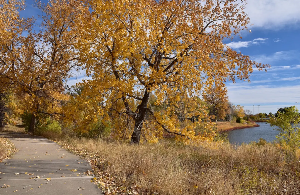
Prospect Park sits on the western side of the Greenbelt and doubles as the trailhead for the Prospect Lake loop above. It’s one of four parks the city names as an official direct-access point onto Clear Creek Trail.
- Location: Western side of the Greenbelt, off 44th Avenue
- Connects to: The Clear Creek and Prospect Lake Trail loop
- Good for: Fishing access and a shorter stop near the lakes
- Amenities: Playground and a picnic pavilion on site
Pro tip: There are restrooms here, so it’s a smart spot to break up a longer ride.
6. Anderson Park
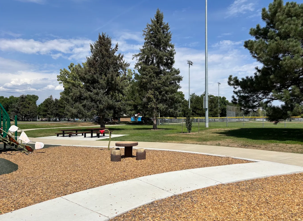
Anderson Park is a 28-acre park right in the heart of Wheat Ridge, sitting directly on the Greenbelt and home to the city’s Parks and Forestry office. It also hosts the city’s annual Carnation Festival and a summer concert series, so it’s rarely quiet on a nice day.
- Size: 28 acres
- Location: Heart of Wheat Ridge, directly on the Greenbelt
- Good for: An easy-to-find home base
Pro tip: If you’re not sure which access point is closest to you, start here. It’s the most visible one on the whole corridor.
7. Johnson Park
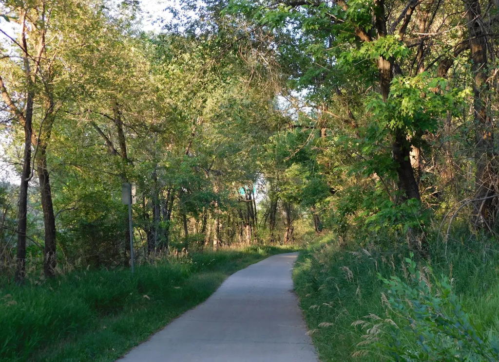
Johnson Park sits partway along the corridor near Wadsworth Boulevard, with its own trailhead straight onto Clear Creek Trail.
- Location: Partway along the corridor, near Wadsworth Boulevard
- Connects to: Clear Creek Trail directly
- Good for: A central starting point if you’re not near either end of the Greenbelt
Pro tip: This is a solid pick if you only want to cover the middle stretch of the trail.
8. Creekside Park
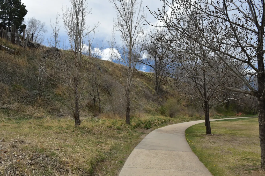
Creekside Park is the easternmost of the four official access parks, close to where the Greenbelt reaches Harlan Street.
- Location: East end of the corridor, near Harlan Street
- Connects to: Clear Creek Trail’s eastern stretch
- Good for: A turnaround point or an east-side starting spot
Pro tip: Start here if you’re coming from the Denver side of Wheat Ridge.
9. Crown Hill Park
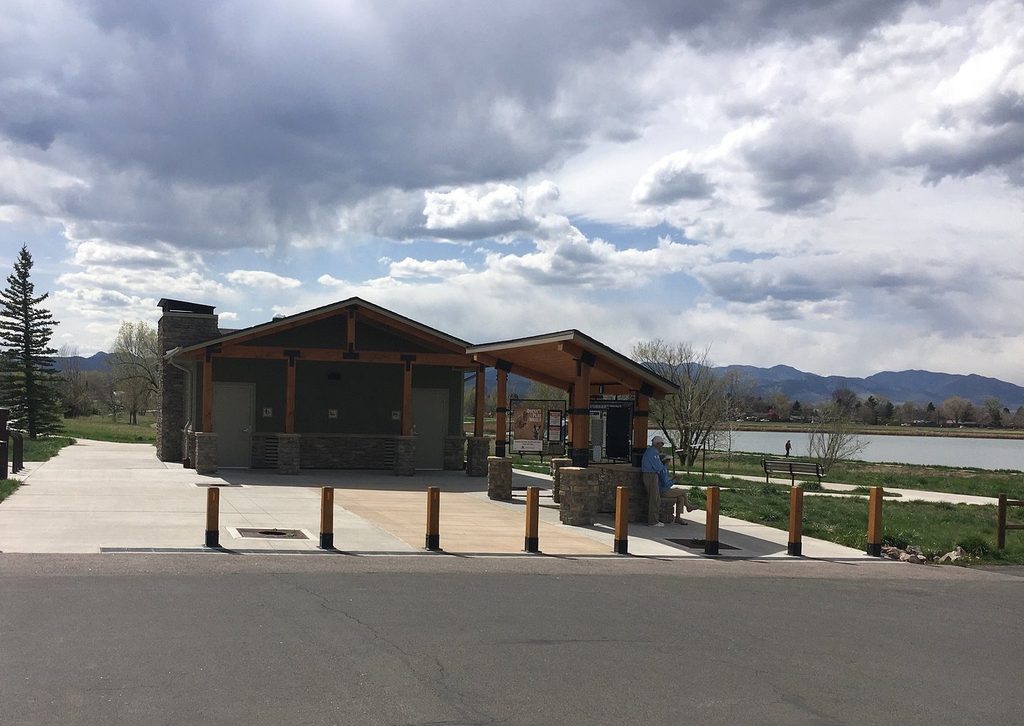
Crown Hill Park sits right on the line between Wheat Ridge and Lakewood, and its official address puts it in Wheat Ridge even though the park is shared with its neighbor. It’s the one stop on this list that isn’t part of the Greenbelt corridor, with a real mix of paved and natural-surface trails.
- Surface: About 6.5 miles paved, 3 miles natural surface
- Parking: Six ADA-designated spaces at the park
- Fishing pier: ADA-accessible pier on the lake
- Jurisdiction: Straddles Wheat Ridge and Lakewood, officially addressed in Wheat Ridge
Pro tip: Stick to the paved loop near the main 26th Avenue lot if you want to stay on wheels the whole visit.
Nine stops, mostly one corridor plus one worthwhile detour, and a map that shows exactly where the pavement changes, so pick the stretch that matches your day and get rolling.
Find Your Way Back Outdoors In Wheat Ridge
Getting outside during a foot or ankle recovery starts with choosing a route that works for your mobility and energy level. Use the map to compare Wheat Ridge’s nine options, then check the surface, distance, and access point before heading out. A short paved stretch may be enough today; you can always explore farther another time.
A knee scooter makes getting around during foot or ankle recovery much easier. Rent a Standard or All-Terrain model from us at Knee Scooter USA and get back to enjoying Wheat Ridge outdoors.